Description
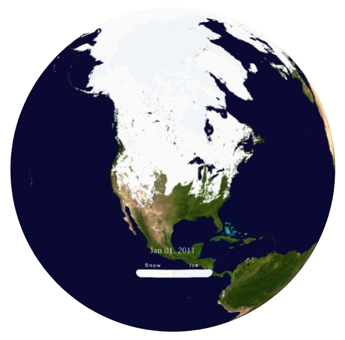
Watch an animation of real-time global snow and ice coverage on the Magic Planet, updated daily. Produced by NOAA’s visualization lab, this animation combines Infrared and microwave data from multiple satellites including the NOAA’s GOES Imager and POES AVHRR, US Air Force DMSP/SSMI, and EUMETSAT MSG/SEVIRI sensors. Light blue areas indicate sea ice extent, whereas white colors indicate all other areas of the cryosphere (areas covered by ice, snow, glaciers, or permafrost).

