Description
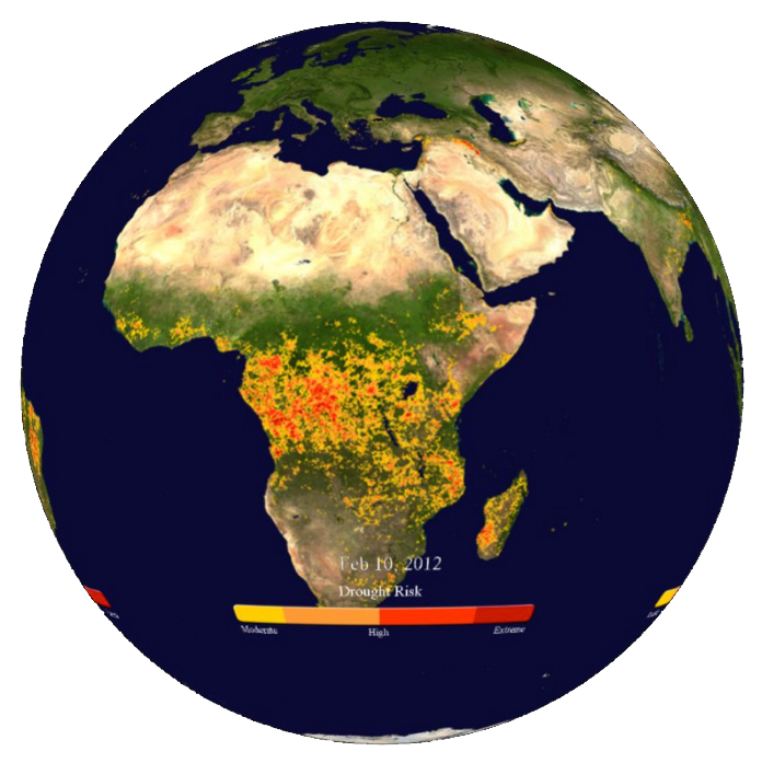
Satellites can detect the difference between rock, grassland, and forests because these surfaces emit energy differently back into space. By measuring these differences and observing the patterns of vegetation –or its lack of growth–NOAA scientists can monitor how droughts are changing across the world through time. Yellow areas indicate areas under moderate drought conditions; red indicates areas experiencing extreme drought conditions. This real-time animation is updated weekly.

