Description
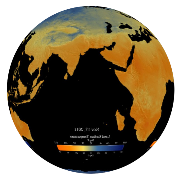
Touch the ground and you’ll feel the land surface temperature. Satellites can also measure this temperature from space, and this real-time animation from NOAA’s Visualization Lab allows you to watch the daily average on the Magic Planet. The images are generated by averaging all of the data collected by the NOAA AMSU and DMSP SSM/I microwave sensors from 4 different polar-orbiting satellites over a 24 hour period. Blue areas are cool and orange areas are warm.

