Shop
Showing 17–32 of 33 results
-
Premium Software Package – Global Imagination
The Premium Software Package includes a suite of content creation tools, designed so teachers simply and easily can create their own content to display on the Magic Planet and tie it to their lesson.
-
Sea Surface Salinity
This real-time animation, updated monthly, maps the distribution of the surface salinity levels on the world's oceans, giving scientists an unparalleled view of the global ocean circulation processes.
-
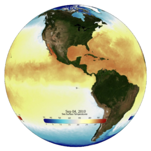
Sea Surface Temperature
The real-time sea surface temperature dataset, updated daily, is provided by the NOAA Center for Satellite Applications and Research.
-
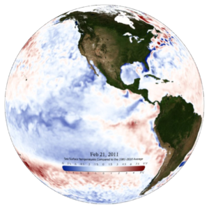
Sea Surface Temperature Anomaly
The real-time sea surface temperature anomaly, updated daily, is the difference between the current temperature and the long-term temperature average.
-
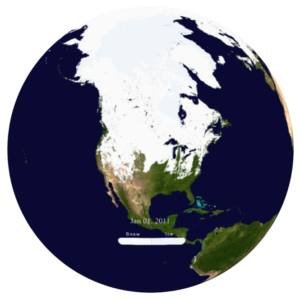
Snow and Ice Cover
Watch an animation of real-time global snow and ice coverage on the Magic Planet, updated daily.
-
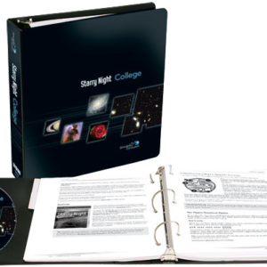
Starry Night College
Starry Night College, by Simulation Curriculum, helps you teach a more satisfying course by making it easier for introductory astronomy students to visually grasp the concepts of astronomy using the Magic Planet.
-
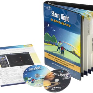
Starry Night Elementary
With lesson plans and activities correlated to state and national standards, Starry Night Elementary for grades K-4 is the most effective way to introduce space science with the Magic Planet.
-
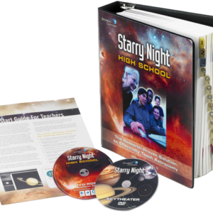
Starry Night High School
Astronomy is a big subject — Starry Night High School, by Simulation Curriculum, makes it easy to teach with a comprehensive space science curriculum solution written for teachers by teachers.
-
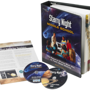
Starry Night Middle School
Aligned to 5th through 8th grade national and state science standards, Starry Night Middle School introduces astronomy through innovative lessons that use the Magic Planet and teach the critical space science concepts for science assessments.
-
Tabletop Systems
The Magic Planet® portable fits on a desktop, and offers the choice of two globe sizes: 16” (41 cm) diameter or 24” (61 cm) diameter. It’s easy to pack up and bring between classrooms, or even between schools in a district.
-
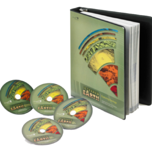
The Layered Earth Geology
Our comprehensive, interactive curriculum covers topics including Plate Tectonics, Earthquakes, Volcanoes, and more. Classroom and school licenses are available.
-
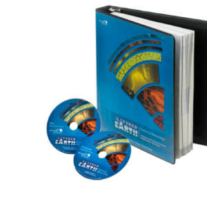
The Layered Earth Meteorology
The Layered Earth Meteorology, by Simulation Curriculum, gives High School and Middle School students a set of dynamic interactive simulations and learning tools. Classroom and school licenses are available.
-
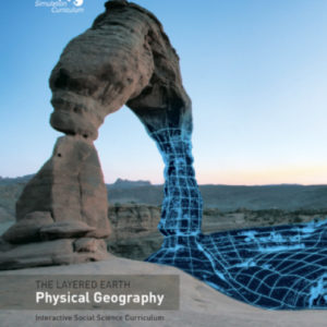
The Layered Earth Physical Geography
With The Layered Earth, you’ll give your students everything a textbook can’t give them: a highly detailed, data-driven, virtual model of Earth that can be measured, manipulated and visualized on the Magic Planet. Classroom and school licenses are available.
-
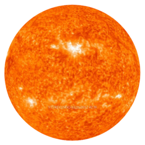
The Sun
This real-time animation, produced by NASA, combines the images from two satellites of the Solar Terrestrial Relations Observatory, STEREO, mission along with images from the Solar Dynamics Observatory at the 304A wavelength.
-
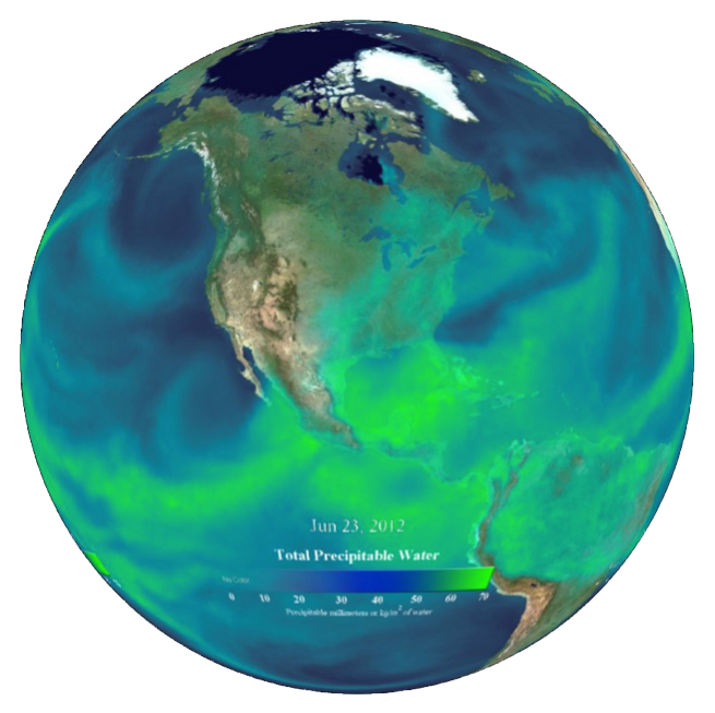
Total Precipitable Water
This real-time animation from NOAA shown the total amount of moisture in the atmosphere, updated daily.
-
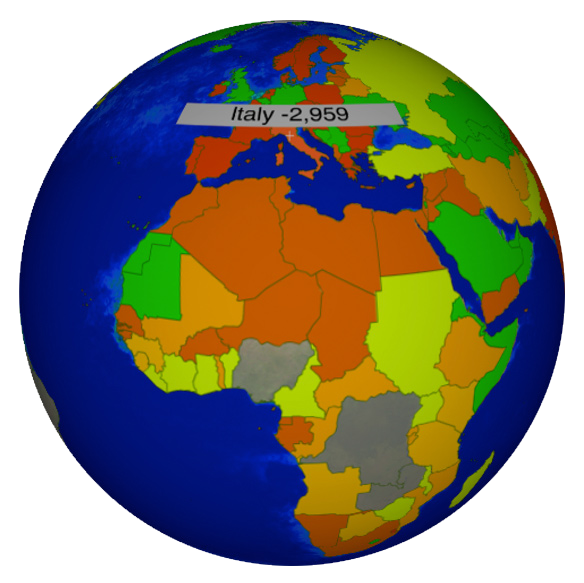
TourGuide Atlas– Global Imagination
TourGuide Atlas provides interactive world maps that run on the Magic Planet – almost any country information or statistic.