-
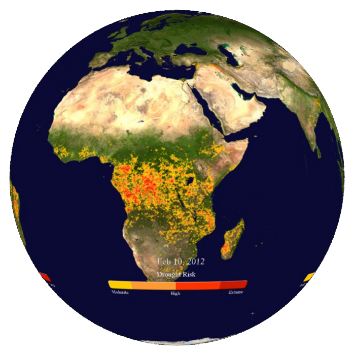
Drought Risk
Monitor how droughts are changing across the world through time with this real-time animation; updated weekly.
-
Dynamic Earth – real-time weather and earthquakes
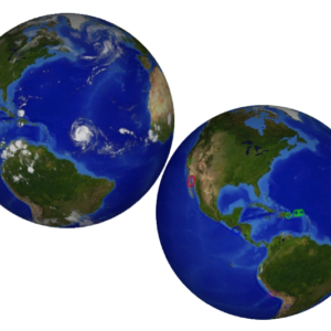
Dynamic Earth lets you see global weather patterns as they happen, and see where there are earthquakes around the globe in real-time.
-
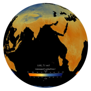
Land Surface Temperature
Touch the ground and you’ll feel the land surface temperature. Satellites can also measure this temperature from space, and this real-time animation from NOAA’s Visualization Lab allows you to watch the daily average on the Magic Planet.
-
Ocean Color
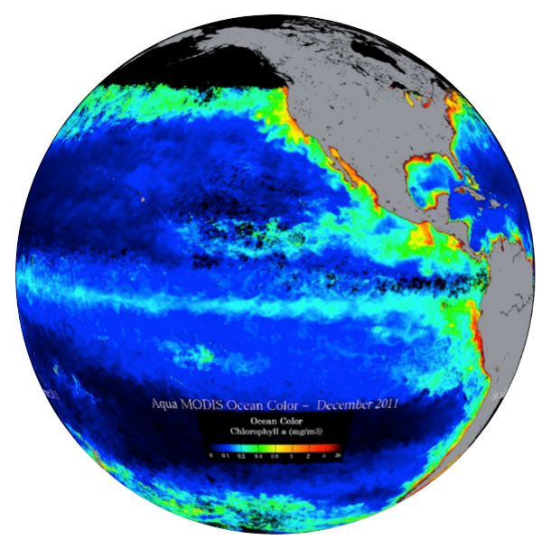
This real-time animation, updated monthly, uses the NASA Aqua satellite to measure the amount of plankton and sediments that exists in the surface of the world’s oceans.
-
Premium Community Subscription
The Premium Community Subscription enables you to access and download any of the professional museum exhibits and theater-style movies on an ongoing basis.
-
Sea Surface Salinity
This real-time animation, updated monthly, maps the distribution of the surface salinity levels on the world's oceans, giving scientists an unparalleled view of the global ocean circulation processes.
-
Sea Surface Temperature
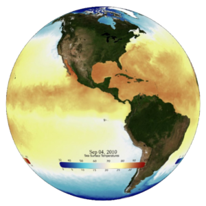
The real-time sea surface temperature dataset, updated daily, is provided by the NOAA Center for Satellite Applications and Research.
-
Sea Surface Temperature Anomaly
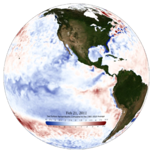
The real-time sea surface temperature anomaly, updated daily, is the difference between the current temperature and the long-term temperature average.
-
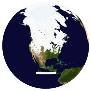
Snow and Ice Cover
Watch an animation of real-time global snow and ice coverage on the Magic Planet, updated daily.
-
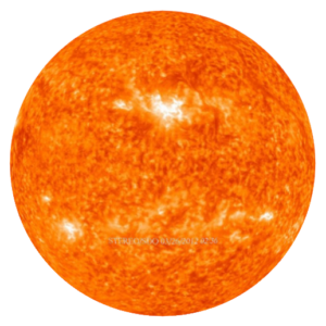
The Sun
This real-time animation, produced by NASA, combines the images from two satellites of the Solar Terrestrial Relations Observatory, STEREO, mission along with images from the Solar Dynamics Observatory at the 304A wavelength.
-
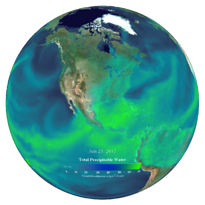
Total Precipitable Water
This real-time animation from NOAA shown the total amount of moisture in the atmosphere, updated daily.

